9 Outback Road Trips Every Aussie Should Do Once (We’ve Driven All of Them)

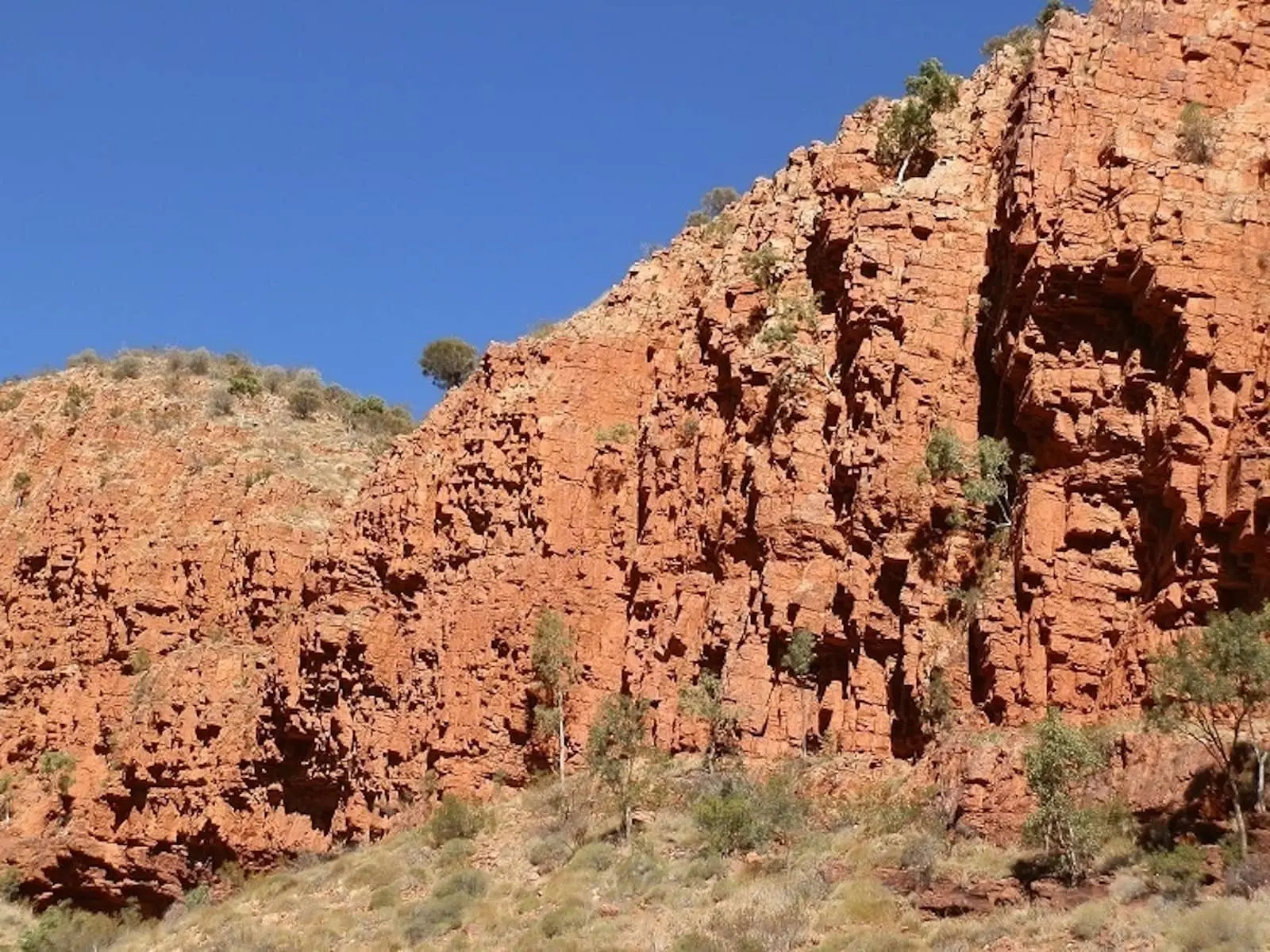
15 min read Jump to section
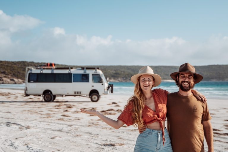
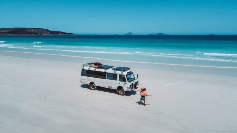
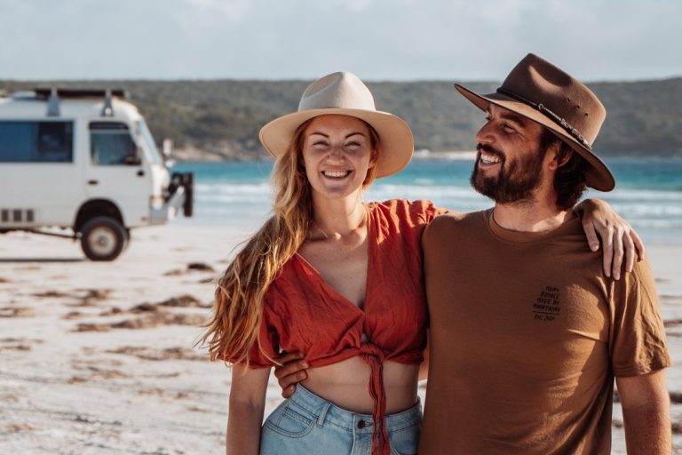
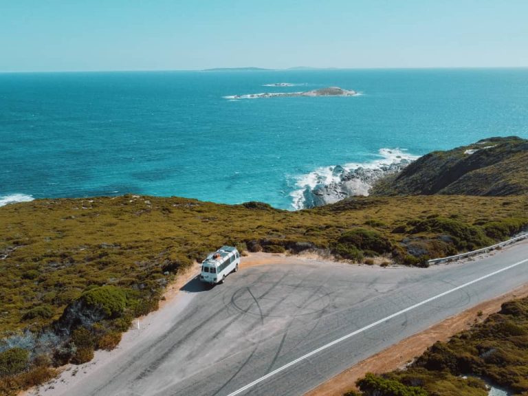
We’ve lived full time on the road since 2020 in a 1993 Toyota Coaster called Bunji, and we’ve done the Big Lap of Australia twice, so we’ve eaten a LOT of outback dust.
These are the 9 outback road trips that stuck with us the most, from 4-day sealed crossings to 2-week runs deep into the Kimberley.
1. Nullarbor Crossing (SA/WA)
Distance: 1,290km one way
Time needed: 4 to 5 days
Best time: June to October
Vehicle: 2WD
Good for: First timers who want the classic outback crossing without a 4WD.

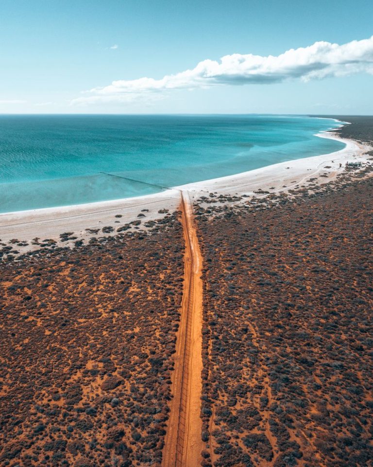
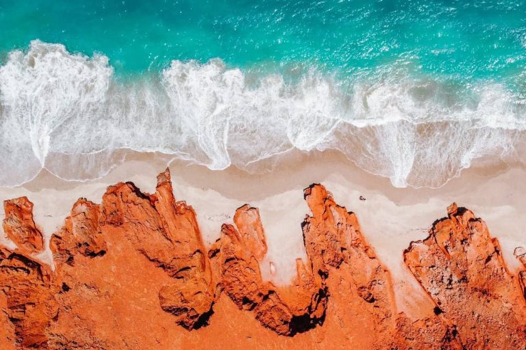
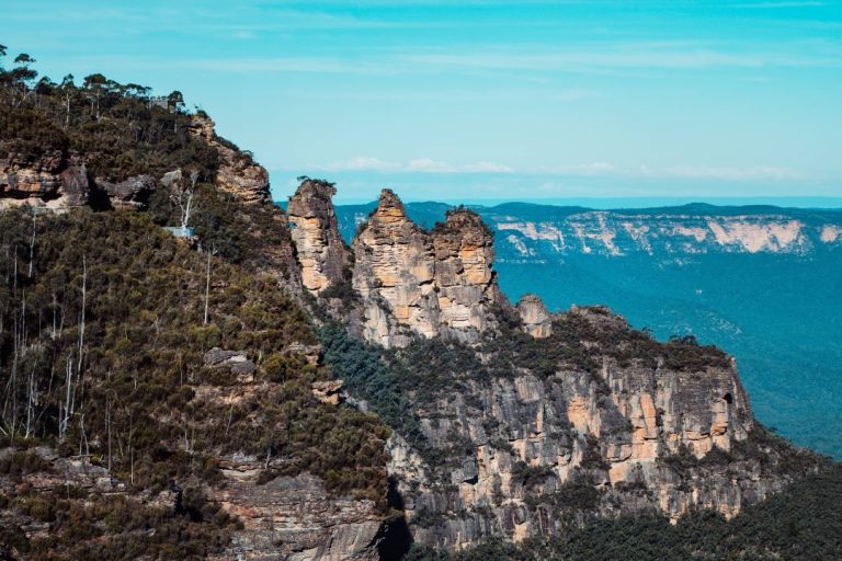
At the 90 Mile Straight sign, Nullarbor Bunda Cliffs from the drone, Nullarbor


We’ve driven the Nullarbor 5 times, in a car, a van, towing a caravan and in Bunji, and it’s still the first drive we recommend to anyone chasing the classic outback.
Plenty of people call it one long boring road, and they’re not completely wrong, but the Bunda Cliffs, the whales and a few quirky stops make the Eyre Highway a proper rite of passage.

Eyre Highway on the 90 Mile Straight Bunda Cliffs, South Australia


Highlights
- 90 Mile Straight, Australia’s longest straight stretch of road, runs about 146km between Balladonia and Caiguna with no bend and takes around 1.5 hours.
- Bunda Cliffs, massive limestone walls that drop straight into the Southern Ocean and run beside the highway, with lookouts just off the road.
- Head of Bight whale watching, where southern right whale mums and calves come close to the platforms for a small fee, best late in the season.
- Eucla Telegraph Station ruins, an old station half buried in sand dunes, with an unsealed road in that’s fine for 2WD and a short walk at the end.
- Caiguna Blowhole, a hole in the ground that breathes air in and out and connects to the vast cave system under the Nullarbor.
- Lake MacDonnell, a salt lake near Penong with vivid pink and blue colours on sunny days, on a 40 to 60 minute round trip over smooth unsealed road.
Heads up: Fuel gaps run up to 200km between roadhouses and fuel is expensive, so top up whenever you can. Skip dawn and dusk driving because of wildlife, and eat or bin your fresh food before the strict WA quarantine check at the border.
Want the day by day plan? Our 4-day Nullarbor road trip comes with a free map and every stop worth making!

2. Red Centre Loop (NT)
Distance: 1,130km loop
Time needed: 7 to 10 days
Best time: May to September
Vehicle: 2WD (4WD for side trips)
Good for: Travellers who want Uluru, Kings Canyon and the West Macs in one loop.
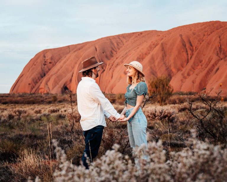
Uluru at sunrise 
Kings Canyon Rim Walk


We went in with low expectations because Uluru and Kings Canyon are sooo popular, and they blew us away. We left totally changed.
This loop strings together Uluru, Kings Canyon and the West MacDonnells, the best known outback icons in Australia, and you can do most of it in a 2WD.
Field of Light near Uluru Hiking the Kings Canyon Rim Walk


Highlights
- Uluru sunrise and base walk, a flat 10km loop that took us about 4 hours by bike, with caves, waterholes and rock art up close.
- Kings Canyon Rim Walk, a 6km loop of 4 to 5 hours that climbs the steep Stairway to Heaven, then passes the Lost City and Garden of Eden.
- Kata Tjuta Valley of the Winds and Walpa Gorge, a 7.4km loop between giant domes, or the shorter 2.6km return Walpa Gorge walk with fewer crowds.
- Field of Light at Uluru, Bruce Munro’s installation of about 50,000 solar-powered lights glowing across the desert floor at dawn or dusk.
- Ormiston Gorge, one of our favourites in the West Macs, with a reliable waterhole under towering red cliffs and a Ghost Gum Walk lookout.
- Ellery Creek Big Hole, a deep, cold waterhole framed by dramatic cliffs and one of the best swim spots in the West MacDonnell Ranges.
Heads up: Summer heat can hit 40 to 45 degrees and the Kings Canyon rim walk closes on hot days. Fuel and phone signal are scarce, and the Mereenie Loop and the Larapinta Drive dirt section north of Kings Canyon need a 4WD and a permit.
Every drive, stay and walk for the loop sits in our Alice Springs to Uluru road trip, plus a free map!

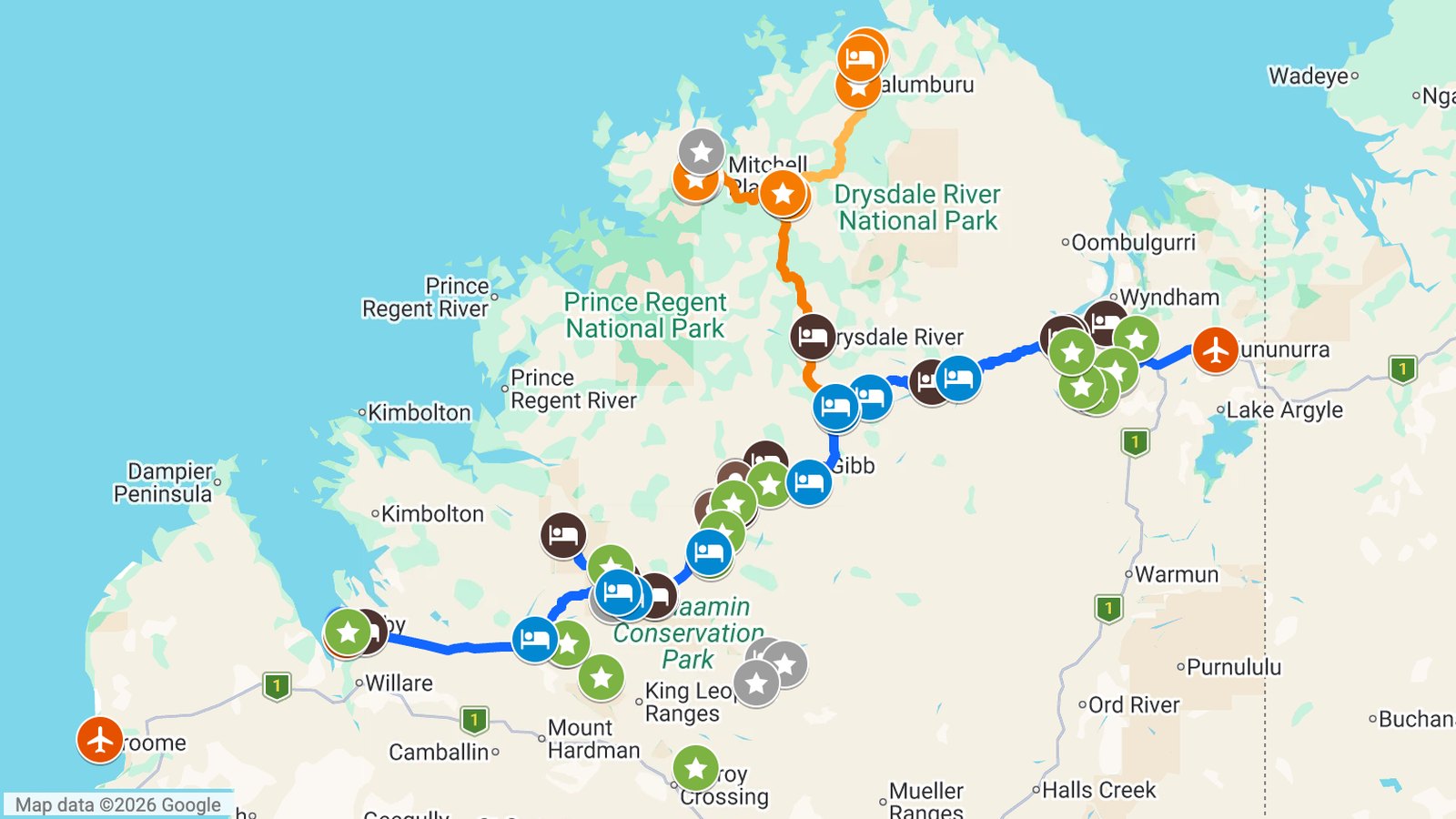
3. Gibb River Road (WA)
Distance: about 660km one way
Time needed: 7 to 14 days
Best time: May to September
Vehicle: High-clearance 4WD
Good for: Gorge chasers happy to rattle over corrugations for Kimberley swimming holes.
Swimming at Bell Gorge Manning Gorge waterhole, Gibb River Road


We drove the Gibb from Derby to Kununurra in 7 days after coming in from Broome. We went late in the season and some spots were closed, otherwise we’d have taken the full 2 weeks.
It’s remote, rugged and not a trip to wing, but the Gibb River Road gorges, waterholes and station stays make it worth every corrugation.
Bell Gorge waterfall, Gibb River Road Windjana Gorge, Gibb River Road


Highlights
- Bell Gorge, where multi-tiered falls drop into a big plunge pool after a 2km return walk from Silent Grove with a river crossing.
- Manning Gorge, a 3km one way walk that starts with a river swim or dinghy pull and ends at deep pools and a big waterfall.
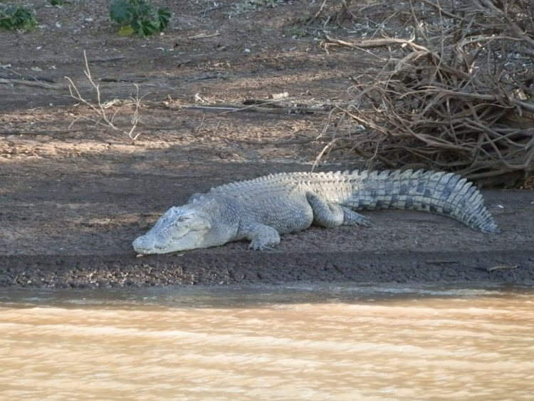
- Windjana Gorge, a limestone gorge more than 3.5km long with freshwater crocs sunbaking on the sandbanks.
- Tunnel Creek (Dimalurru), a 750m cave system through the Napier Range, with bats and freshwater crocs inside and Bunuba warrior Jandamarra’s last hideout.
- Emma Gorge and Zebedee Springs, El Questro’s cold waterfall pool after a 30 minute walk and a warm palm-fringed spring that only opens 7am to midday.
- Pentecost River Crossing, one of the most photographed spots on the Gibb, with the Cockburn Ranges behind and saltwater crocs in the water.
Heads up: The road closes in the wet season (roughly November to April), and it’s heavily corrugated with bull dust. Carry spare tyres, extra fuel and water, and check the Pentecost River and creek crossing depths early in the season.
If the Gibb’s on your list, our full Gibb River Road itinerary has both the 7 and 14 day plans!
4. Adelaide to Darwin (SA/NT)
Distance: 3,090km one way
Time needed: 10 to 15 days
Best time: May to September
Vehicle: 2WD
Good for: Anyone who wants to cross the continent on one sealed highway.

Among the boulders at Devils Marbles 
Biking around the base of Uluru


Our own run took 18 days and we skipped Uluru that time, though you can squeeze it into 15 with a few changes.
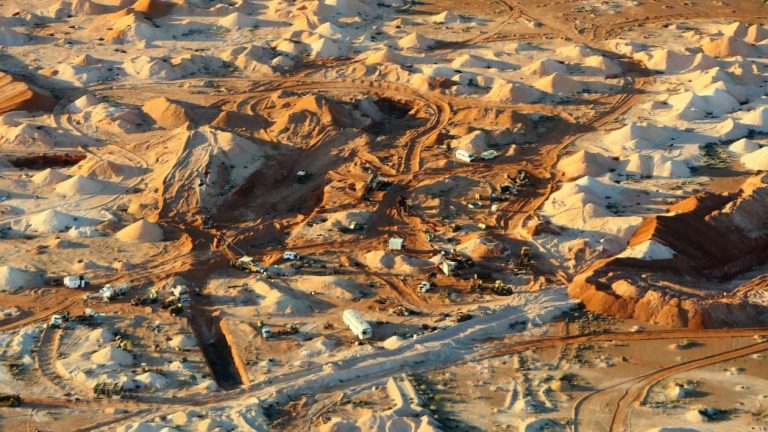
Driving the Stuart Highway through the middle of the continent is a classic, with opal-mining Coober Pedy and Devils Marbles along the way. It’s sealed all the way, with plenty of roadhouses and campsites to break up the driving.

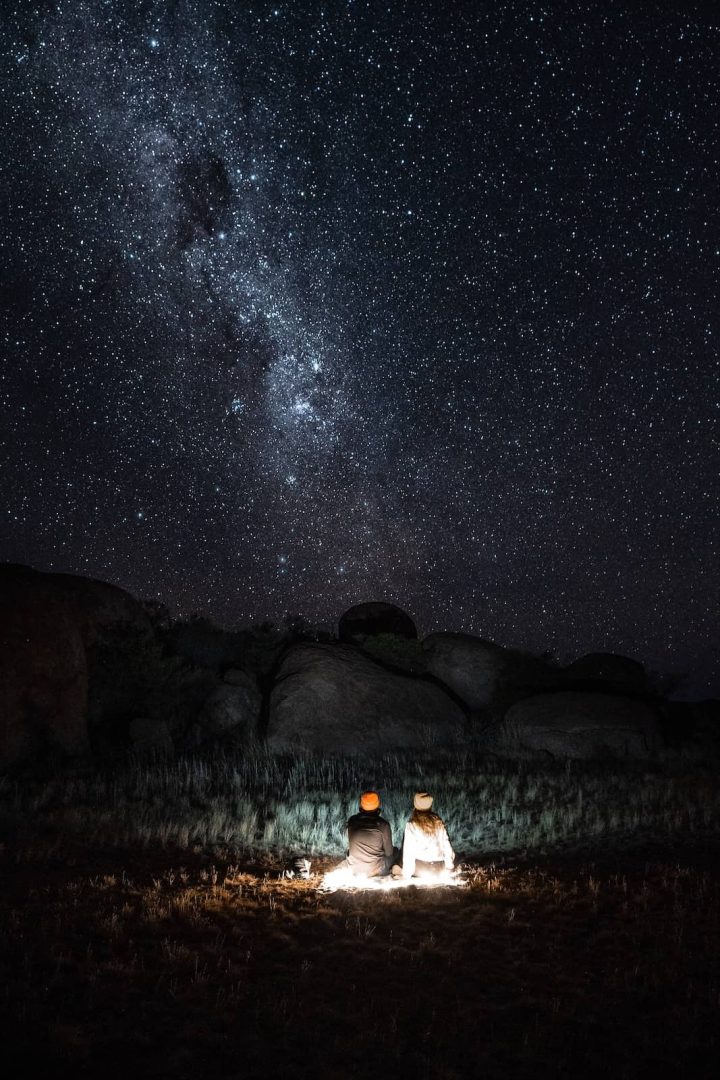
Stargazing at Devils Marbles Walking towards Uluru

Highlights
- Coober Pedy underground town and Kanku-Breakaways, an opal-mining town with dugout homes, an underground Serbian Orthodox Church and painted hills just outside town.
- Devils Marbles (Karlu Karlu), huge rounded granite boulders balancing across a valley, with a campground where you can sleep among them.
- Uluru and Kata Tjuta detour, a 3 day side trip from Erldunda that trip 2 covers in full.
- Kings Canyon Rim Walk, a 6km loop past the Garden of Eden waterhole that trip 2 covers in full, so start at sunrise.
- Woomera Missile Park, an outdoor display of rockets and missiles from the town’s rocket testing past and a quirky break on the long drive to Coober Pedy.
- Alice Springs Desert Park, a showcase of desert flora and wildlife near town and a good base for exploring the Red Centre.
Heads up: Fuel gaps between roadhouses are long, road trains share the highway and summer heat is severe. The Top End wet season runs from November to April.
Whichever length you pick, our Adelaide to Darwin road trip guide has a plan for 7, 15 or 21 days!

5. Perth to Karijini (WA)
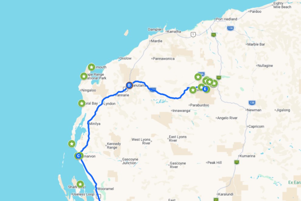
Distance: 1,600km one way
Time needed: 10 to 14 days
Best time: April to September
Vehicle: 2WD
Good for: Hikers comfortable with rock scrambling and spider walking in narrow gorges.
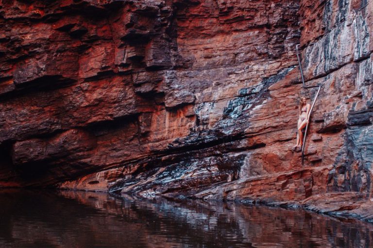
Joffre Gorge, Karijini Handrail Pool, Weano Gorge


Karijini is one of the most memorable places we’ve been in over 5 years on the road, with some of the most dramatic gorge scenery in Australia.
Crossing WA’s outback to the Pilbara’s red gorges and ancient rock is a once-in-a-lifetime highlight, so give it the 10 to 14 days it needs.
Spa Pool, Hamersley Gorge Fortescue Falls, Dales Gorge


Highlights
- Hamersley Gorge and Spa Pool, our favourite gorge, with swirling folded rock layers unlike anywhere else in the park and a short stair walk to the Spa Pool.
- Weano Gorge and Handrail Pool, a short walk with a steep descent and spider walking through narrow, slippery sections, made for adventurous hikers.
- Dales Gorge, Fortescue Falls and Fern Pool, the most accessible gorge in Karijini on a sealed road, with Circular Pool in the same area.
- Karijini Eco Retreat and Joffre Gorge, where glamping style eco tents with ensuites and a restaurant sit within walking distance of Joffre Gorge.
- Kalbarri National Park (Nature’s Window and Skywalk), a detour of about 100km return to red river gorges, Nature’s Window, the Skywalk and Z Bend, which easily rival Karijini.
- Shark Bay and Monkey Mia, a World Heritage area with wild dolphin feedings and Shell Beach, where tiny white cockle shells make up almost the whole beach.
Heads up: Summer is extremely hot and cyclone season (November to April) can close roads and gorges. Gorge walks have steep, slippery sections with flash flood risk, so check DBCA alerts, carry 3 to 4L of water per person per day and expect patchy phone reception.
Want to see how the 2 weeks fit together? Our Perth to Karijini road trip has every overnight stop and a free map!
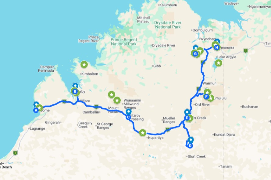
6. Broome to Kununurra (WA)
Distance: 1,130km one way
Time needed: 7 to 14 days
Best time: May to October
Vehicle: 2WD (4WD for side trips)
Good for: Travellers who want the Kimberley’s big sights without the Gibb’s corrugations.
Echidna Chasm, Purnululu National Park 
Bungle Bungles, Purnululu National Park


Everyone talks about the Gibb when they think Kimberley, but the sealed Great Northern Highway from Broome to Kununurra doesn’t get nearly enough credit.
It still takes in Windjana Gorge, Wolfe Creek and the Bungle Bungles, minus the beating your car takes on the Gibb’s corrugations.
Striped domes of the Bungle Bungles Zebedee Springs, El Questro


Highlights
- Purnululu National Park (Bungle Bungles), beehive domes striped orange and black unlike anything else in Australia, and worth 2 to 3 days.
- Cathedral Gorge and Echidna Chasm, a short walk to a huge natural amphitheatre and a narrow chasm that glows golden at midday.
- Windjana Gorge, where the walls rise from an ancient fossil-filled reef and freshwater crocs line the pools, so swimming’s off the table.
- Dimalurru (Tunnel Creek), a 750m wade through WA’s oldest cave system with stalactites, so pack a torch or headlamp.
- Wolfe Creek Crater (Kandimalal), the 2nd largest meteorite crater in the world at 880m across, with a 3km rim walk and free camping under dark skies.
- El Questro (Emma Gorge and Zebedee Springs), where Emma Gorge, the hot springs and a Chamberlain Gorge cruise fill 2 to 3 days on one visitor permit.
Heads up: Wet season floods can cut the highway and close parks from November to April. The Purnululu track and the last stretch to Wolfe Creek need a 4WD.
Stop by our Broome to Kununurra road trip guide for the full 2 week plan, stays and packing list!
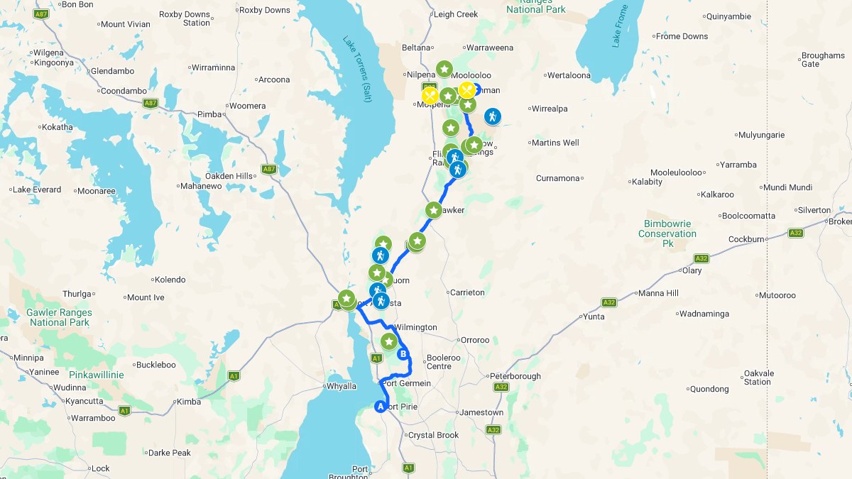
7. Flinders Ranges and Lake Eyre (SA)
Distance: about 1,800km loop
Time needed: 7 to 10 days
Best time: April to October
Vehicle: 2WD (4WD for side trips)
Good for: Hikers, drivers and rock art fans who want South Australia’s outback in one loop.

Bridle Gap Track, Wilpena Pound 
Blinman Pools hike, Flinders Ranges


We loved the northern end around Blinman and Angorichina so much that we’d give it 3 to 5 days on its own.
The loop gathers South Australia’s outback icons, with Wilpena Pound, Arkaroola and a scenic flight over Lake Eyre from William Creek.

Plains inside Wilpena Pound Hiking Bridle Gap, Wilpena Pound


Highlights
- Wilpena Pound (Ikara) and St Mary Peak, a natural amphitheatre at the centre of Ikara-Flinders Ranges National Park, with a strenuous 14.6 to 21.5km hike up St Mary Peak.
- Scenic flight over Lake Eyre from William Creek, the only way to grasp the scale of Kati Thanda-Lake Eyre, Australia’s largest salt lake.
- Brachina Gorge Geology Trail, a mostly dirt drive with interpretive signs and a yellow-footed rock-wallaby colony, through rock layers that span hundreds of millions of years.
- Arkaroo Rock, an Adnyamathanha rock art site with paintings thought to be over 5,000 years old that tell the creation story of Wilpena Pound.
- Blinman Pools Hike, a challenging 10km return walk from Angorichina with rock hopping, steep climbs and permanent pools to cool off in.
- Prairie Hotel, Parachilna, an iconic outback pub with a feral food menu of kangaroo, emu and camel.
Heads up: Dirt roads like the Oodnadatta Track and the gorge drives turn to mud after rain and can close. Summer heat reaches 30 to 45 degrees, so stick to the cooler months.
We split the ranges into south, central and north in our 7-day Flinders Ranges itinerary, with a free map!
8. Corner Country (QLD/NSW/SA)
Distance: 1,200km one way
Time needed: 5 to 7 days
Best time: May to September
Vehicle: 4WD
Good for: Confident 4WD drivers who want a genuine back-of-beyond route.
Cameron Corner survey marker Dingo Fence at Cameron Corner


We got marooned twice on the way to Cameron Corner, first by an overnight downpour that closed every road in and out of Tibooburra, then by a flat tyre from a small piece of bone.
Standing where Queensland, NSW and South Australia meet is a bucket-list outback tick. The Queensland end is Thargomindah, about 450km from the corner.
Jump-up lookout, Sturt National Park The two pubs of Tibooburra


Highlights
- Cameron Corner Survey Marker, where surveyors set the marker in 1880 and you now stand in NSW, Queensland and South Australia at once.
- Cameron Corner Store, a remote store with fuel, basic supplies, powered and unpowered camp sites and the best steak for miles.
- Sturt National Park, 340,000 hectares of sandhills, gibber plains, jump-ups, mesas and gorges, plus the Middle Road 4WD track.
- Dingo Fence at Cameron Corner, the 5,614km Dingo Fence, which you can watch stretch to the horizon right at the corner.
- Tibooburra and Mt Wood, a granite-boulder outback town with a 4km return climb on the Gorge Loop Trail.
- Cameron Corner New Year’s Eve party, where you ring in the New Year three times at 11pm NSW, 11.30pm SA and midnight QLD, so book ahead.
Heads up: Roads are unsealed and close after rain, so carry spare tyres (bone fragments cause flats), fuel and water.
Heading to the corner? Our Cameron Corner guide covers the roads, stays and precautions in full!
9. Kakadu and the Top End (NT)
Distance: 700km loop
Time needed: 5 to 7 days
Best time: May to October
Vehicle: 2WD (4WD for side trips)
Good for: Croc spotters and rock art fans who want a Top End outback fix near Darwin.
Sunset from Ubirr Lookout, Kakadu Jim Jim Falls plunge pool, Kakadu


We spent over a week in Kakadu, and while Chris prefers Litchfield, Kakadu was Bec’s favourite of the two.
It’s a World Heritage outback destination of rock art, wetlands and waterfalls just out of Darwin, and the big sights on sealed roads suit a 2WD.
Crocodile at Cahills Crossing, Kakadu Rock art at Burrungkuy, Kakadu


Highlights
- Ubirr rock art and sunset lookout, rock art over 1,000 years old below a floodplain lookout often called the best sunset spot in the NT.
- Yellow Water Billabong Cruise (Cooinda), a wetland cruise with so many wild saltwater crocs and birds it feels like a safari, so book the early slots ahead.
- Jim Jim Falls and plunge pool, massive red cliffs above a plunge pool where we spotted barramundi, after a rough high-clearance 4WD track and a 1km rock hop.
- Cahills Crossing croc viewing, an East Alligator River causeway where saltwater crocs hunt fish, best watched from the 3 platforms around high tide.
- Burrungkuy (Nourlangie) rock art and Gunwarrdehwarrde Lookout, a 1.5 hour loop past paintings that tell stories thousands of years old, finishing at an escarpment lookout.
- Maguk (Barramundi Gorge), a year-round waterfall and plunge pool in monsoon rainforest, with a hidden upper pool a short walk past the main falls.
Heads up: Jim Jim, Twin Falls and Maguk need a 4WD and often stay closed until mid dry season, so check the Kakadu Access Report. Never swim where crocodiles may be present.
Short on time? Our Darwin to Kakadu road trip has 2WD and 4WD plans plus a free map!

FAQs
What are the best outback drives Australia has for first timers?
Start with the Nullarbor Crossing or Adelaide to Darwin, because both run on sealed highways with roadhouses and campsites to break up the driving. The Red Centre Loop and Kakadu also work in a 2WD for the main sights. Save Corner Country for when you’ve got a 4WD and a few outback miles behind you.
Do you need a 4WD for outback Australia road trips?
Not for every one. The Nullarbor, Adelaide to Darwin and Perth to Karijini suit a 2WD, while the Gibb River Road and Corner Country need a 4WD. The Red Centre, Broome to Kununurra, Flinders Ranges and Kakadu trips only need one for side trips like the Mereenie Loop, Purnululu, Jim Jim and Maguk.
What is the best time of year for outback road trips?
Roughly April to October, when it’s cooler and dry. Summer can hit 40 degrees or more in the Red Centre, and the north’s wet season from November to April closes roads and parks. Check each trip’s best time before you lock in dates.
How long does an Australian outback road trip take?
It varies a lot. Corner Country and Kakadu take 5 to 7 days, the Nullarbor takes 4 to 5 days, and Adelaide to Darwin or Perth to Karijini need 10 days or more. Add a few spare days for side trips and rain.
Before you go
If a week or two isn’t enough for you, our 7 epic multi-week road trips across Australia are the natural next step.
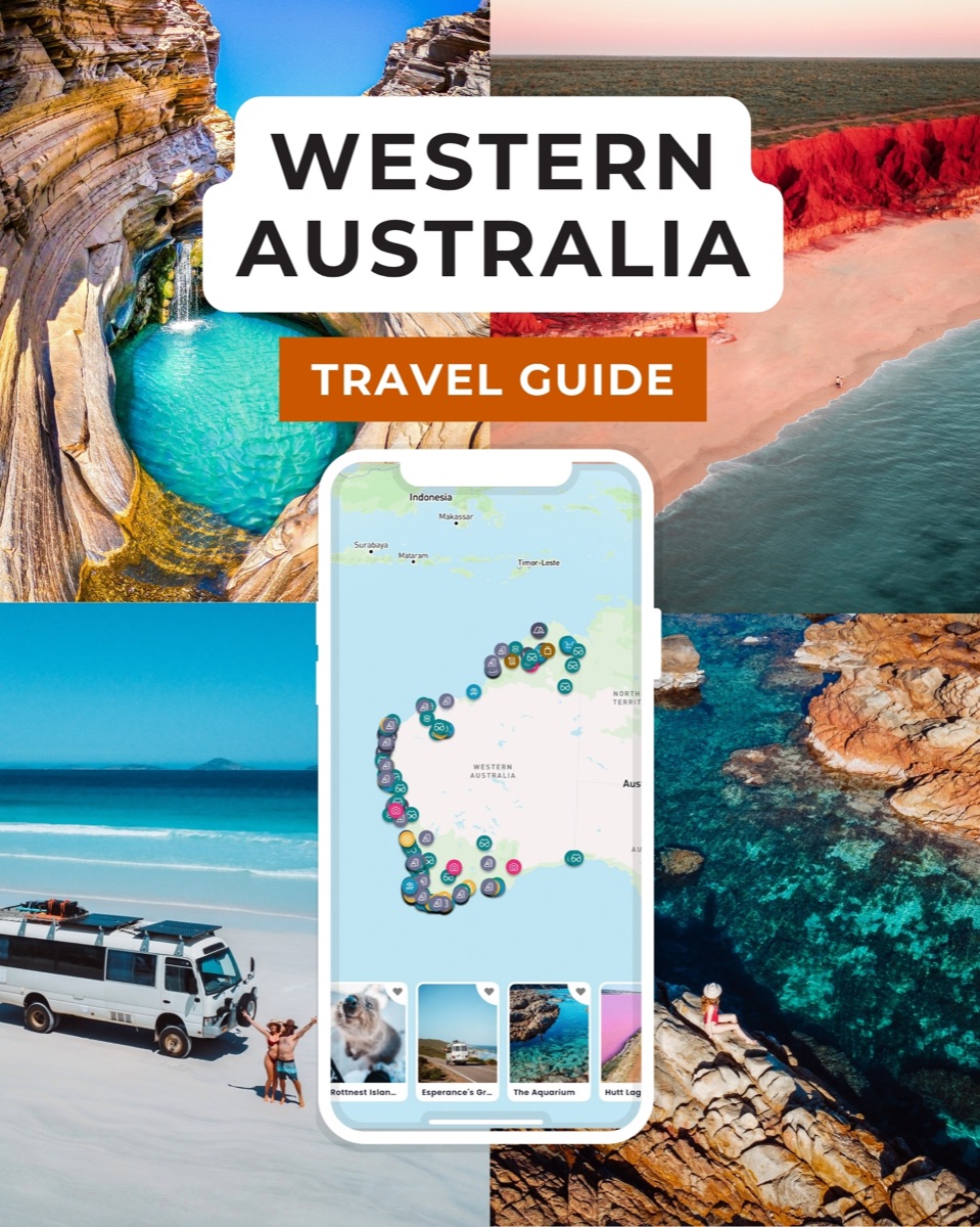
The Western Australia guide
Western Australia in your pocket
- 400+ spots pinned and mapped in the app
- 15+ done-for-you itineraries (2WD and 4WD)
- Your whole trip in one place and available offline
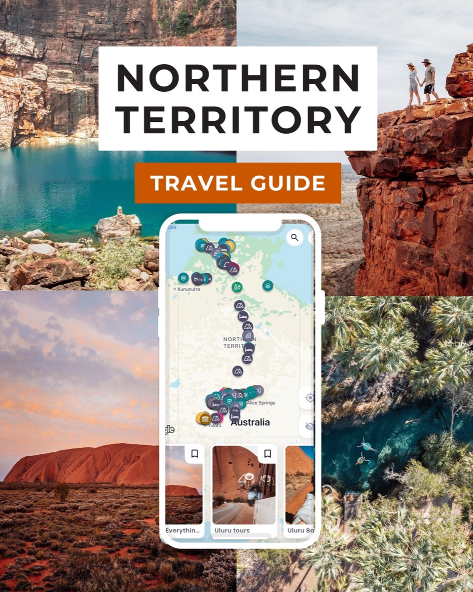
The Northern Territory guide
Red Centre to the Top End
- 180+ pins with campsites, waterholes, hikes, and more
- 12+ done-for-you itineraries (2WD and 4WD)
- All your trip in one place and available offline
See you on the road, Chris and Bec
Our Essential Travel Toolkit
🤩 Wise Card – Online bank to hold money in different currencies worldwide and lowest fees in the market! (FREE debit card here)
🤩 Trip.com – Consistently great accommodation and hotel deals.
🤩 Hostelworld – Looking for the cheapest accommodation? We especially love the “book now, pay later” feature.
🤩 Discovercars.com – Best range, super easy to compare prices rental car and motorhome prices.
🤩 Viator.com – Easily book tours and experiences at the lowest rate. Great selection all over Australia.
🤩 Tripadvisor.com – Other than our website…😉 the best place to find things to do
🤩 Airalo – eSIM store that solves the pain of high roaming bills by giving travelers access to eSIMs (digital SIM cards).
🤩 Caravan RV Camping – Traveling Australia in a van, caravan or bus? This is the best place to get all your gear.