Broome to Dampier Peninsula 5-day Road Trip + FREE Map

12 min read Jump to section
Cape Leveque used to be the main reason to head up the Dampier Peninsula, but sadly it’s closed indefinitely (Kooljaman too). That said, there’s SO much more to see!
It’s got spots like James Price Point, Pender Bay and Cygnet Bay Pearl Farm, each one with its own magic. But keep in mind you’ll need a 4WD to reach all the good spots.
So this is the itinerary we’d do if we had 5 days, which is the minimum we’d recommend for Dampier. It really deserves to be taken slow!
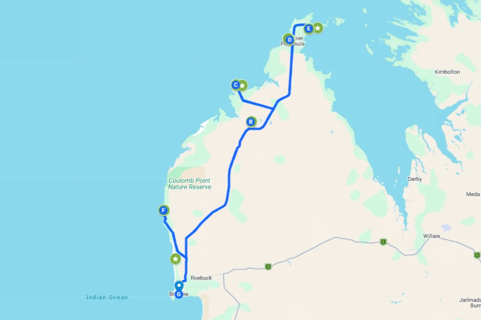
Road trip snapshot
- Distance: ~680km return from Broome
- Drive time: ~13 hrs total
- Areas covered: Willie Creek, Beagle Bay, Middle Lagoon, Pender Bay, Djarindjin, One Arm Point, Cygnet Bay, James Price Point
- Best time: the dry season, May to October. Go between June and September if you want to see the humpbacks in Pender Bay
- Vehicle: 4WD preferably. The main Cape Leveque Road is sealed, but most spots in this itinerary are all unsealed, sandy and corrugated
- Pet-friendly: Yes, there are plenty of dog-friendly campgrounds
- Good for: 4WDers, campers, and anyone keen on red cliff sunsets, cultural tours, and whale-spotting right off the beach!
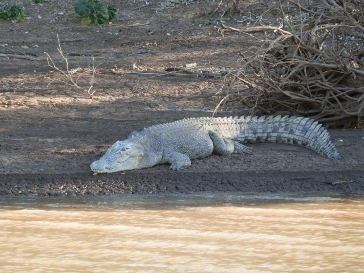
⚠️ ALWAYS be croc wise in and around Broome. Never assume water is safe simply because there’s no warnings, stick to designated areas, follow all signs and ranger advice. More info here.

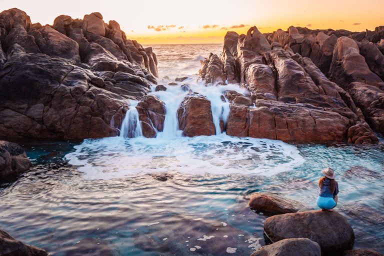
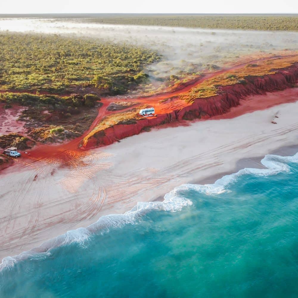
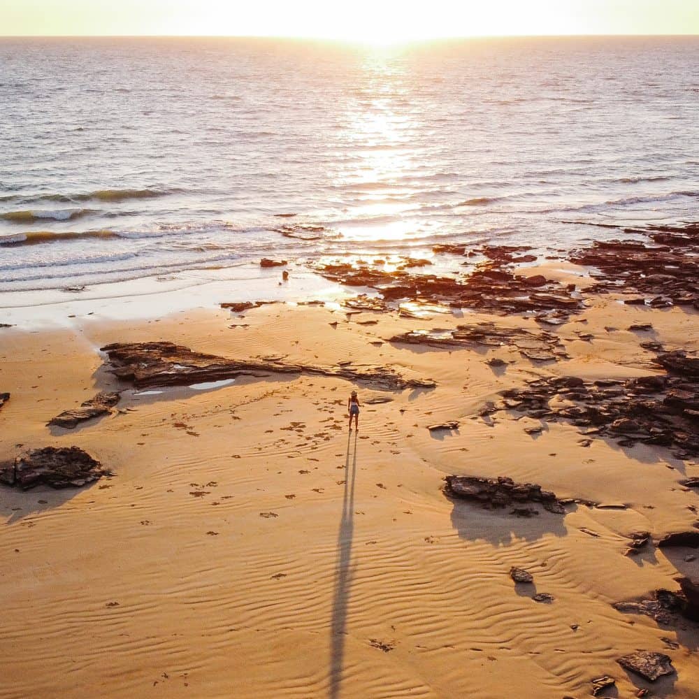
James Price Point Broome sunset
Day 1: Broome > Beagle Bay
- Distance: ~170km
- Drive time: ~3 hrs
Leave Broome early, especially if you want to stop at the iconic Willie Creek Pearl Farm before heading north!
Willie Creek Pearl Farm
This working pearl farm sits just north of Broome, right on a turquoise creek lined with mangroves (stunning). Broome was built on pearling, and this is a really fun way to learn all about it!
You can visit the grounds without a tour, but we 100% recommend doing one. You’ll see the oyster nursery, cruise along Willie Creek, and watch a live pearl harvest!
The tour takes around 3 hours, so keep that in mind when planning your day.
Some tips before going:
- Follow the signs and red markers to the farm, not Google Maps
- Book the tour ahead, you can book lunch with it too
- No swimming in the creek, saltwater crocs live there
Beagle Bay
Beagle Bay is a small Aboriginal community about halfway up the peninsula. You need to pay a fee of $15 per person to enter the community (last time we checked).
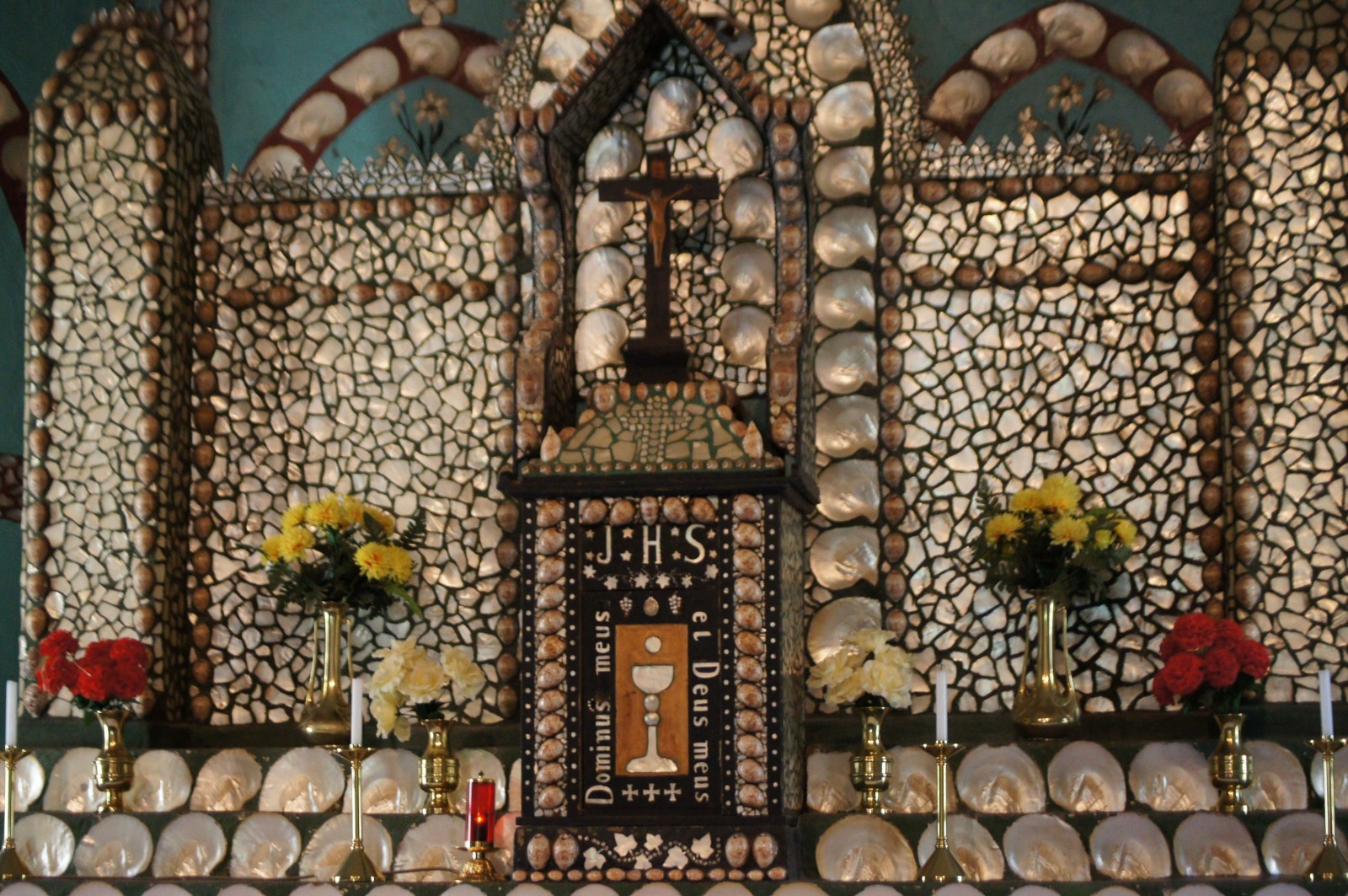
The highlight is the Sacred Heart Church. The whole altar is covered in mother of pearl, which is pretty special to see after learning about pearling at Willie Creek!
Where to stay near Beagle Bay?
Stay at Banana Well Getaway, about 10km from Beagle Bay down a signposted 4WD track. It’s an off-grid bush campground with shady grassed sites, owned by the Traditional Owners.
There’s a small dip pool fed by an artesian spring, a self-guided nature walk, plus fishing and crabbing. It’s dog friendly too!
The Western Australia guide
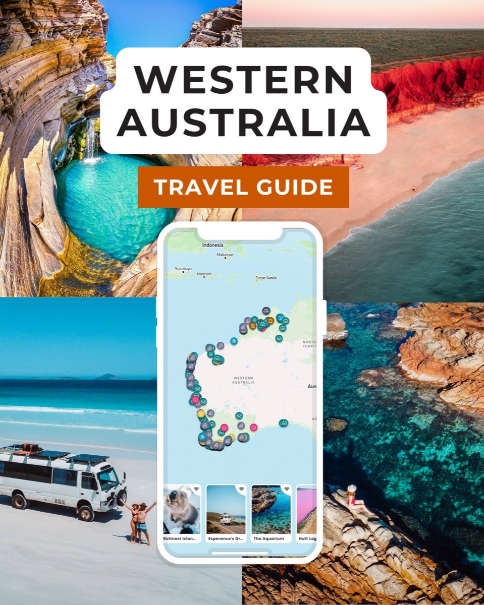
Western Australia in your pocket
- 400+ spots pinned and mapped in the app
- 15+ done-for-you itineraries (2WD and 4WD)
- Your whole trip in one place and available offline
Day 2: Beagle Bay > Middle Lagoon & Pender Bay
- Distance: ~70km
- Drive time: ~2 hrs
After a good breakky, leave Beagle Bay and turn onto the unsealed Middle Lagoon Road.
Middle Lagoon
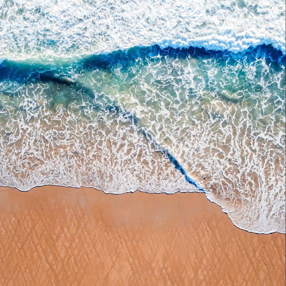
This is a beach camp on a sheltered bay, and it’s one of the few safe swimming spots on the area (still do so with caution, it’s croc country).
Bring your snorkel and fishing gear! The beach is great for both.
There’s a small kiosk for coffee and hot food if you need a break from camp cooking. You can also visit if you’re not staying the night, but you’ll have to pay a day pass to visit.
Pender Bay
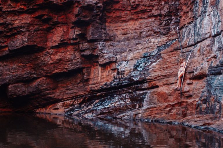
This National Heritage-listed spot is about 30 mins from Middle Lagoon, with red cliffs and SUPER clear blue water.
At low tide, head to the iconic Heart Rock, a rock pool shaped like a heart!
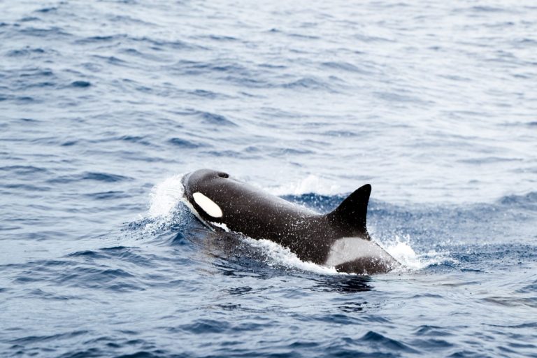
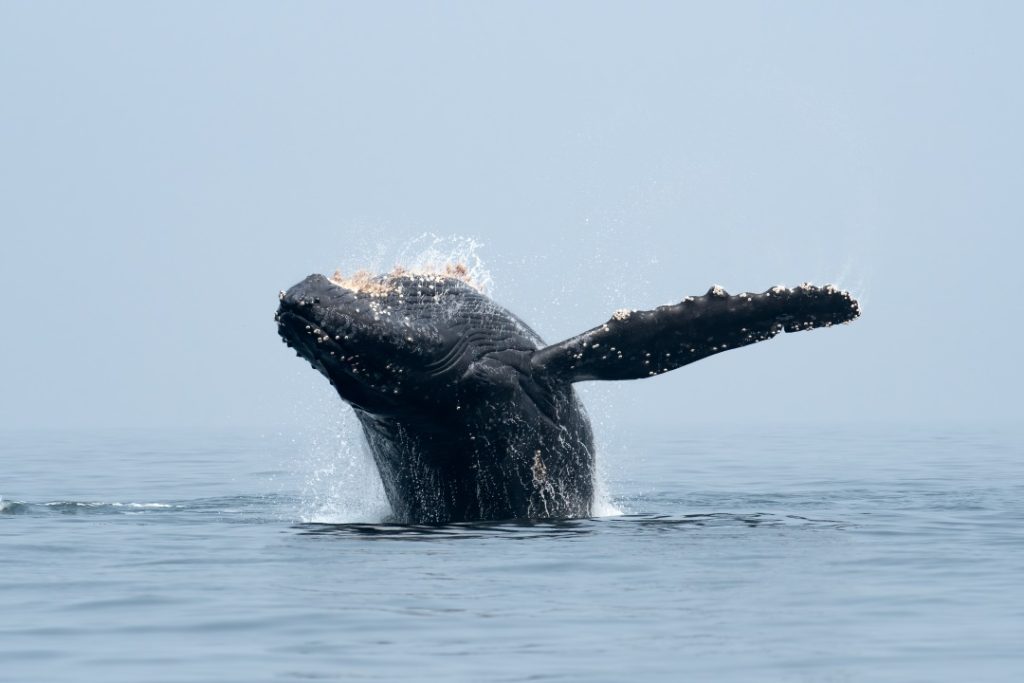
It’s also one of the best places to see humpback whales in WA. Between June and September, the area becomes a major nursery and resting ground for them!
Where to stay in Middle Lagoon?
There are a handful of options, but we’d stay at Natures Hideaway at Middle Lagoon. It has powered and unpowered sites, plus cabins.
If you’d rather wake up on the cliffs at Pender Bay, stay at Pender Bay Escape instead. All sites are unpowered and there wasn’t a shop or fuel on site last we heard, so come self-sufficient.

Day 3: Middle Lagoon > Djarindjin & Lombadina
- Distance: ~75km
- Drive time: ~1.5 hrs
Back on the bitumen today, with a nice drive north to two communities a short drive apart:
Djarindjin
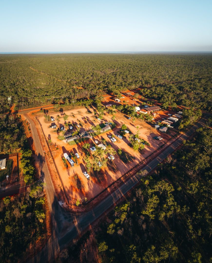
This is a small Aboriginal community off a dirt road from Cape Leveque rd, with a roadhouse where you can stock up if you need to.
You can also book some really cool cultural tours there, where Bardi Jawi guides take you out fishing, crabbing, and exploring their Country. It’s honestly one of the best things you can do on the peninsula!
Lombadina
This is another Aboriginal community a short drive from Djarindjin, right on Thomas Bay.
The beach there is all white sand and really clear water, so grab a day pass at the office ($10 per vehicle) and head straight there!
They also run kayaking, mud crabbing and fishing tours, all timed with the tides.
We’ve heard that from October to May the community closes on weekends and public holidays, so plan around that!
Where to stay in Djarindjin/Lombadina?
We recommend staying at Djarindjin Campground for the next couple of nights. It’s very easy to access from the highway and the rest of the stops are a short drive from there.
But Lombadina Campground might be best if you’d rather stay in a cabin.
Keep in mind both campgrounds have a 3-day max policy!
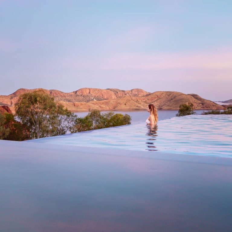
But if you can afford it, definitely stay at least 1 night at Cygnet Bay Pearl Farm. You’ll have the pool, the restaurant and the sunsets over the bay all to yourself once the day visitors leave!
Day 4: Djarindjin & Lombadina > One Arm Point > Cygnet Bay
- Distance: ~80km return
- Drive time: ~1.5 hrs
Today you’re heading to the northernmost community on the peninsula, then spending the afternoon at the iconic pearl farm.
One Arm Point (Ardyaloon)
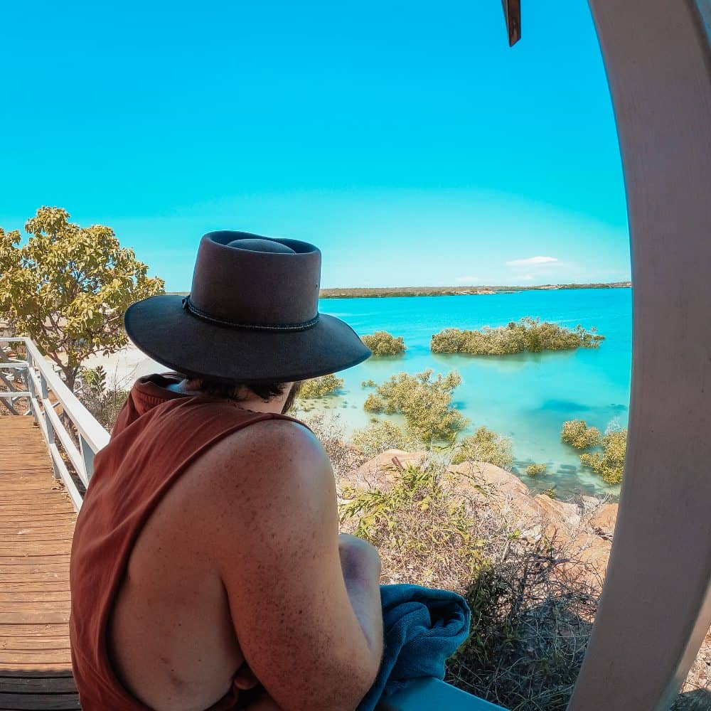
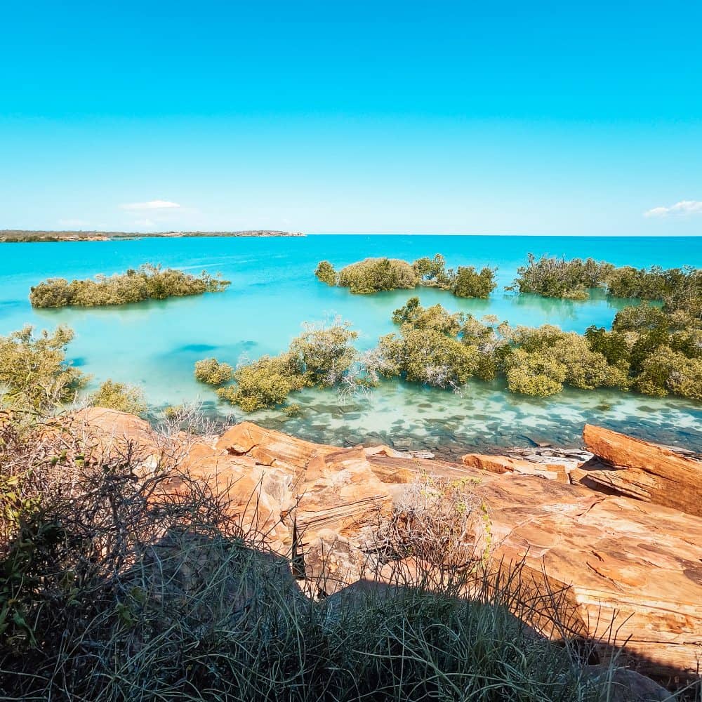
This is the community right at the top of the peninsula, looking out over the islands of the Buccaneer Archipelago.
The Kimberley has some of the biggest tides in the WORLD, and you can witness them there. Just head to the Round Rock lookout and watch the water race between the islands!
The community also runs a hatchery where they breed trochus (a big sea snail) and other local marine life.
We’re told it’s a very interesting experience, but sadly it’s closed at the time of writing. Check if it’s open here!
Pay for your day pass at the community office when you arrive. There’s 24 hr fuel here too! No accommodation there, though.
Cygnet Bay Pearl Farm
Cygnet Bay is Australia’s oldest pearl farm, run by the Brown family since 1946. It’s about 20 mins from Djarindjin.
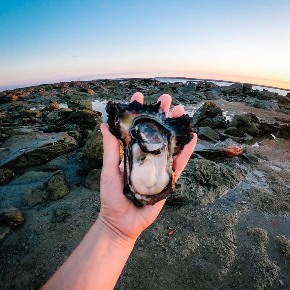
There are a bunch of tours there, but definitely consider doing the boating one.
They’ll take you right through the whirlpools the tides create between the islands! It’s a truly unique phenomenon worth checking out if you can afford it.
If you skipped Willie Creek, consider doing the Pearl Farm Harvest Tour too.
Just make sure to book your tours ahead of time. And if you’re staying for dinner, book a table before 4pm.
Day 5: Djarindjin > Broome via James Price Point
- Distance: ~260km
- Drive time: ~4.5 hrs
It’s time to make your way back to Broome, but not before checking out one of the most impressive places in Dampier – James Price Point!
4WD is absolutely necessary for this day, though.
The drive to James Price was heavily corrugated last time we went and seems like it haven’t changed much since. So please take it slow and enjoy the experience!
But first, check out these really cool spots on the way:
- Barred Creek, a tidal creek mouth with a white sandy beach on its south side. It’s known for great fishing and mud crabbing, and the beach is a good spot for shell hunting.
- Quondong Point, where you can see dinosaur footprints at low tide!
James Price Point (Walmadany)
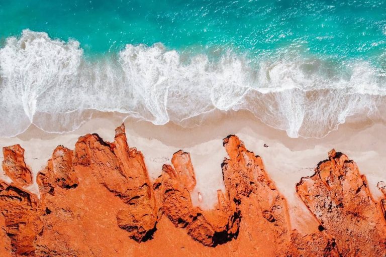
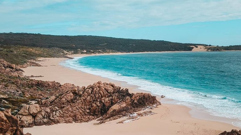
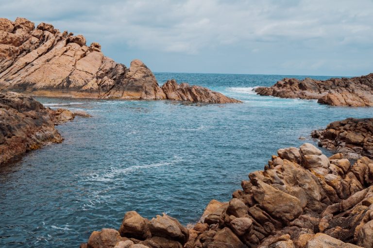
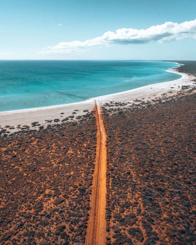
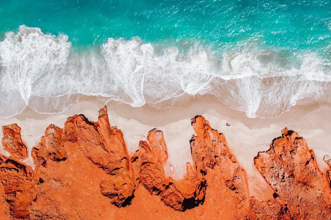
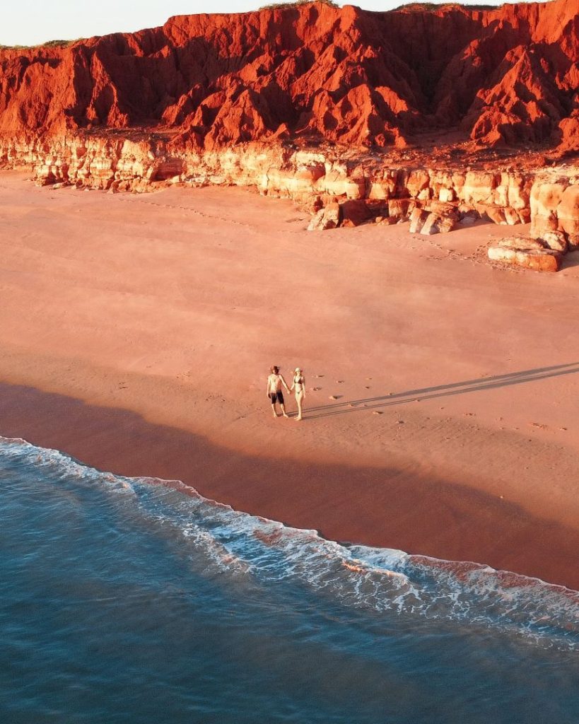
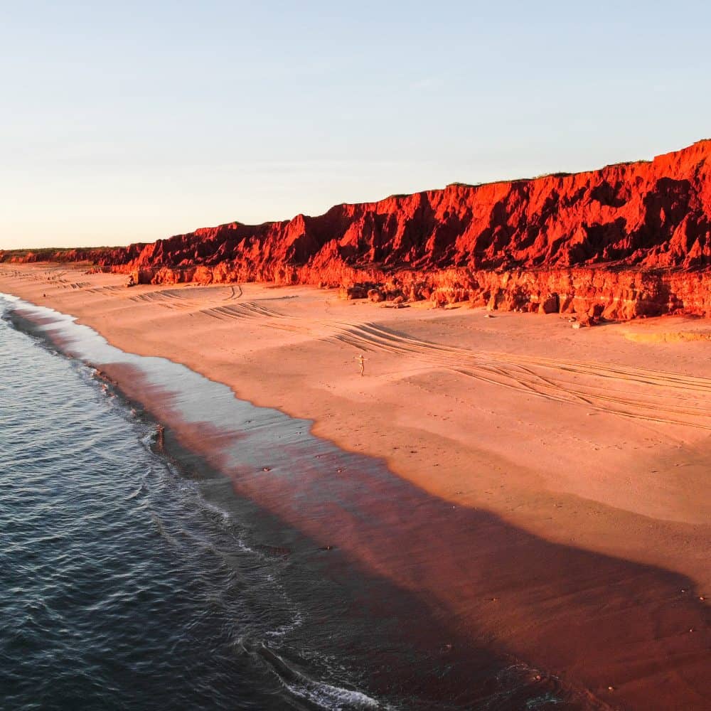
Another 16km north, you’ll hit the red pindan cliffs of James Price Point, dropping straight onto white sand and turquoise water.
It’s hard to describe how beautiful the place is, you have to see it for yourself! It’s one of the best places in WA for sunset in our opinion. The way the light hits the cliffs literally makes them glow.
There are also dinosaur footprints in the reef rock here, so check the Broome tide times and time your beach walk with low tide.
Keep in mind Walmadany is an important cultural site on the Lurujarri Songline, so please treat it with respect.
The drive back to Broome after sunset is about 2 hrs on Manari Road, so take it slow and watch for wildlife.


Can you camp at James Price Point?
We free camped there a couple of years ago and honestly, it was one of the BEST camping spots we’ve been to.
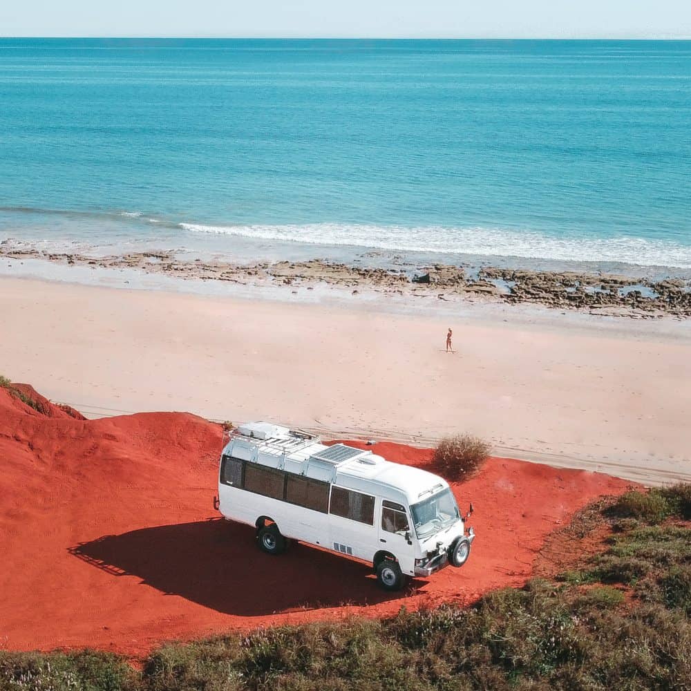
BUT things have changed since then and there’s a lot of conflicting information online. Some sources say you can still free camp there while others don’t.
So we emailed the Shire of Broome to get a straight answer and this is what they said:
(…) camping is only permitted in designated camping grounds, caravan parks and on private properties with permission from the owner. Historically people have camped at various locations along Manari Road, (including James Price Point, Quondong, Barred Creek and Willie Creek), but the locations are not designated caravan parks or camping grounds. Camping outside a designated caravan park or camping ground can occur with the permission of the landowner for periods of up to 5 days. All land along Manari Road is owned by the State of WA and therefore, permission to camp on this land must be obtained from the Minister for Lands (via Department of Planning Lands and Heritage).
So no, you can’t just free camp there anymore.
We’ve also heard from our community that the area is patrolled and campers have been fined. Better to treat it as a day trip from Broome instead.
But whether you’re there for the day or got permission to stay, PLEASE keep it clean and leave it better than you found it.
We’ve heard reports of visitors finding the place in a terrible state because others didn’t clean up after themselves.
If we’re travelling and exploring nature, it’s our responsibility to pick up after ourselves so all of us can keep enjoying it for years to come.
Got a few more days? Here are our favourite things to do in Broome!
The Western Australia guide
Western Australia in your pocket
- 400+ spots pinned and mapped in the app
- 15+ done-for-you itineraries (2WD and 4WD)
- Your whole trip in one place and available offline
Planning your Dampier Peninsula road trip
Best time to go
The Dampier Peninsula is a dry season-only trip (May to October), so the best time comes down to whales, heat and crowds.
June to September is our pick. It’s whale season in Pender Bay, and days sit around 28 to 30°C with cooler nights.

It’s also the busiest time though, especially over the July school holidays, so book your campsites early!
May and October are quieter, but October gets hot and humid, with days in the mid-30s. Some places also start cutting back their hours. Lombadina, for example, closes on weekends from October.
Wet season (November to April) is a no-no. It’s hot, humid and stormy. Unsealed tracks can close after heavy rain, and a lot of operators reduce their days or shut for the season. Don’t do this trip then.
What to pack
- Tyre pressure gauge and a compressor to air back up
- Plenty of water and food, there’s nothing on Manari Road or at James Price Point
- Fishing and snorkelling gear
- Insect repellent and mozzie coils for the sandflies and mozzies
- Hat, sunscreen and something for shade
- Offline maps, reception comes and goes up here (our WA guide works offline too!)
Top Tips
- Officially, there’s no free camping anywhere on the Dampier Peninsula, so book your stays ahead of time.
- Fuel is hard to come by so plan carefully and bring jerry cans. We prefer metal instead of plastic, as they’re more durable, especially when handling all the corrugations
- If you want to drink, BYO – you can’t buy alcohol anywhere on the peninsula
- Dump points are very limited up here, so empty your tanks in Broome
- Some communities require a day pass which you can purchase at their respective offices. Don’t enter communities or private land without permission
- Roads and tracks can close after rain, so check the Main Roads WA travel map and the Shire of Broome road report before you leave
FREE Map of this Broome to Dampier Peninsula road trip
FAQs
What happened to Cape Leveque?
Kooljaman at Cape Leveque closed indefinitely on November 2021 due to financial challenges. The broader area remains largely restricted or closed to general public.
How far is Broome from the Dampier Peninsula?
Broome is 2-4 hours of the Dampier Peninsula, depending on where you’re going.
How long to spend on Dampier Peninsula?
We recommend spending at least 2 days, but preferably 5-7. This way you can explore the different areas of the peninsula and do so slowly, as it deserves.
Ready for an epic trip to the Dampier Peninsula? Grab this first!
Any trip is easier to do when someone else has done the planning for you!
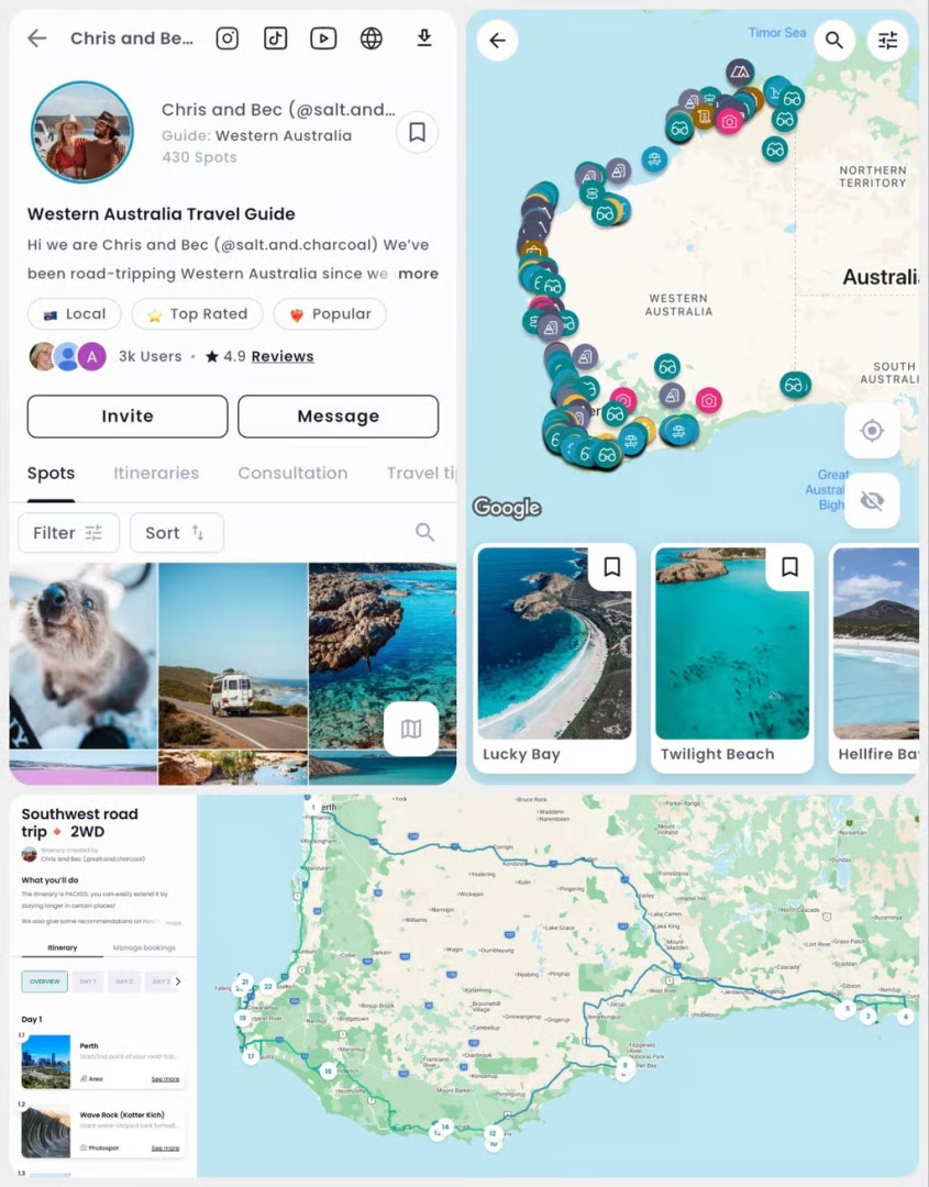
So we built our Western Australia Guide to make travelling around Broome, Dampier, and the whole WA stupid easy:
- 18+ done-for-you itineraries (including Dampier and beyond)
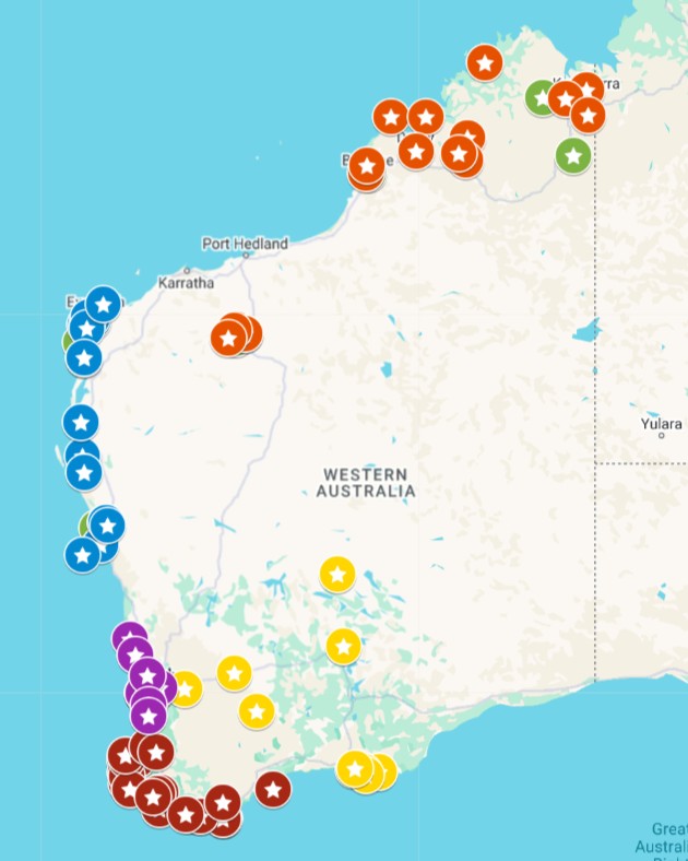
- 500+ places pinned across the state
- Filters like “dog-friendly”, “snorkelling”, “camping” and more!
- Offline access available, a must if you’re road tripping WA
This is how the guide looks:
Our Essential Travel Toolkit
🤩 Wise Card – Online bank to hold money in different currencies worldwide and lowest fees in the market! (FREE debit card here)
🤩 Trip.com – Consistently great accommodation and hotel deals.
🤩 Hostelworld – Looking for the cheapest accommodation? We especially love the “book now, pay later” feature.
🤩 Discovercars.com – Best range, super easy to compare prices rental car and motorhome prices.
🤩 Viator.com – Easily book tours and experiences at the lowest rate. Great selection all over Australia.
🤩 Tripadvisor.com – Other than our website…😉 the best place to find things to do
🤩 Airalo – eSIM store that solves the pain of high roaming bills by giving travelers access to eSIMs (digital SIM cards).
🤩 Caravan RV Camping – Traveling Australia in a van, caravan or bus? This is the best place to get all your gear.